
Power outages, grounded flights as storms blitz DC region
Expect a hot, humid day Tuesday, with temperatures feeling close to 100, before showers and thunderstorms develop, and some of them could be severe.
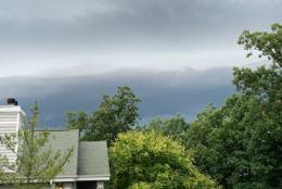
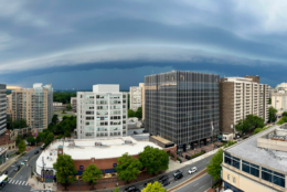
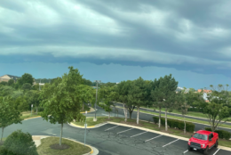
A hot, humid Tuesday ended with severe thunderstorms across the D.C. area. Here’s what you need to know.
- Severe thunderstorm warning until 7 p.m.: D.C.; parts of Anne Arundel, St. Mary’s, Calvert, Prince George’s and Charles counties in Maryland.
- Severe thunderstorm watch until 10 p.m.: Calvert, Charles, Harford, Prince George’s, Anne Arundel, Frederick, Howard and Montgomery counties in Maryland; Fauquier, Stafford, Arlington, Prince William, Fairfax, Loudoun counties in Virginia.
- A flood watch is in effect for portions of D.C., Maryland and Virginia until midnight.
A watch means that conditions favor the formation of thunderstorms with high winds and hail, the weather service says; the next step is a warning, which means such storms are happening or are about to.
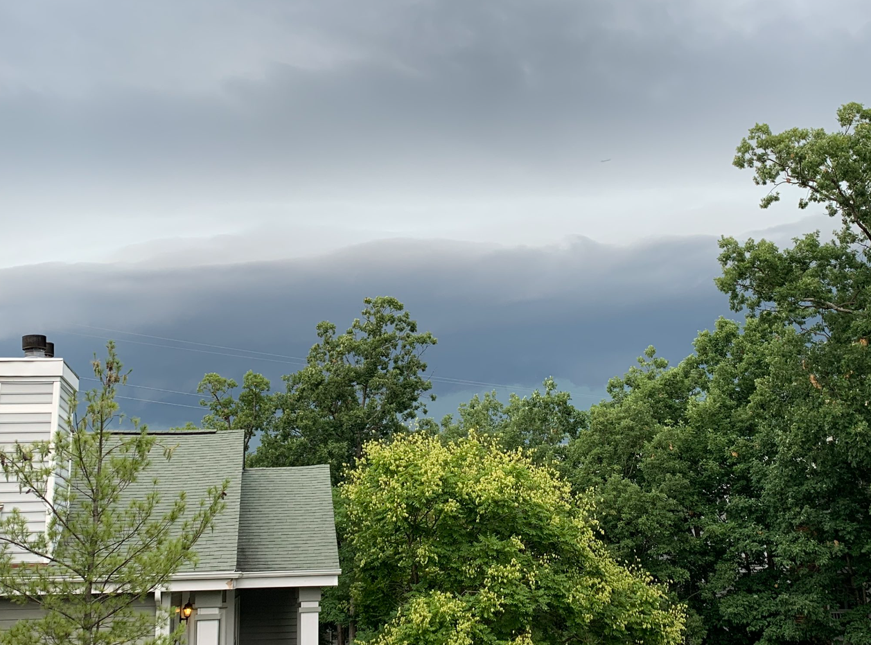
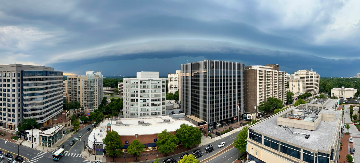
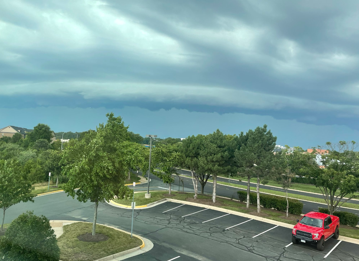
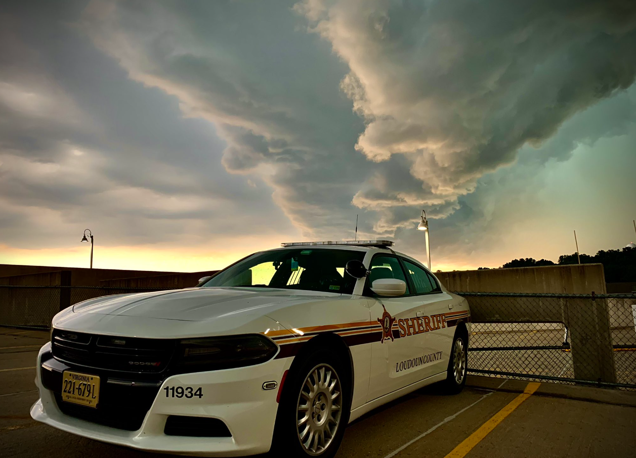
Storm Team4 meteorologist Mike Stinneford said the storm had weakened slightly from a “destructive” storm — the highest level the weather service puts out — earlier in the Shenandoah Valley, including the city of Winchester. That storm that included winds of about 90 mph and tennis ball-sized hail.
In the D.C. area, the National Weather Service said damaging winds could cause some trees and large branches to fall.
“This could injure those outdoors, as well as damage homes and vehicles. Roadways may become blocked by downed trees. Localized power outages are possible. Unsecured light objects may become projectiles,” NWS said.
In Leesburg, wind gusts clocked at 62 mph at 5:15 p.m., Stinneford said. In Maryland, storm damage includes trees downed and snapped, as well as quarter-sized hail in Harford, Carroll and Frederick counties.
D.C. Fire and EMS spokesman Vito Maggiolo said most of the calls for help have been related to power lines and downed trees.
“We’ve had a couple of instances where trees came down on top of vehicles. In one case the vehicle was occupied. However, the the folks inside the vehicle were able to self extricate and they were not injured. We had one apparent lightning strike over in the Anacostia section that affected the boiler of the home, but no fire or smoke,” Maggiolo said.
His advice during storms is to say inside and shelter accordingly.
“Power lines, consider any wire that you see down in the street, consider them live. Do not approach them. Do not drive over them,” Maggiolo said. And as for standing water, “Don’t drive into any standing water. It’s often much deeper or more powerful that it may appear.”
The Federal Aviation Administration reported grounded flights at Reagan National, BWI Marshall and Dulles International airports..
New Carrollton metro, heavy rain, hail, high winds, lighting, tiny car. @DildineWTOP @WTOP pic.twitter.com/odjYXtGWBP
—
Stray Cat
野良猫
(@bobcatarts) July 12, 2022

And when the severe storms subside, he said, the flooding threat will remain, given all the rain that’s fallen on the D.C. area in the past week or so.

- Listen to WTOP online and on the radio at 103.5 FM or 107.7 FM.
- Current traffic conditions
- Weather forecast
- Sign up for WTOP alerts
Forecast
Storm Team4 meteorologist Lauryn Ricketts said it will be a a calmer forecast for Wednesday and Thursday, with temperatures in the upper 80s. Scattered showers and thunderstorms will return by Friday and might last through the weekend.
TUESDAY NIGHT: Storms continue before clearing. Warm, muggy. Lows in the upper 60s to mid-70s.
WEDNESDAY: Partly sunny with clouds and lower humidity. Chance of an afternoon storm, mainly south. Highs in the mid-80s to low 90s.
THURSDAY: Partly sunny and not too humid, with an isolated shower possible. Highs in the mid- to upper 80s.
FRIDAY: Partly cloudy with an isolated shower or storm. Highs in the low to mid-80s.